Free Royalty-Free Maps You Can Download and Use for Your Personal, Commercial and Education Projects-
Free Royalty-Free Maps You Can Download and Use for Your Personal, Commercial and Education Projects-
Our free royalty-free, color, and printable maps can be downloaded for your personal, corporate, or education projects, Content License. For PC, right-click to download to your computer. For Mac, control-click and download. If you need an editable map for a PowerPoint or Adobe Illustrator project, Click Here.
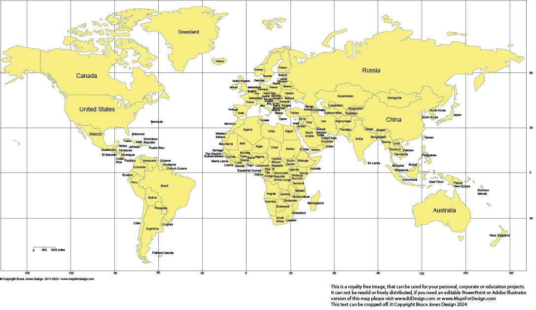
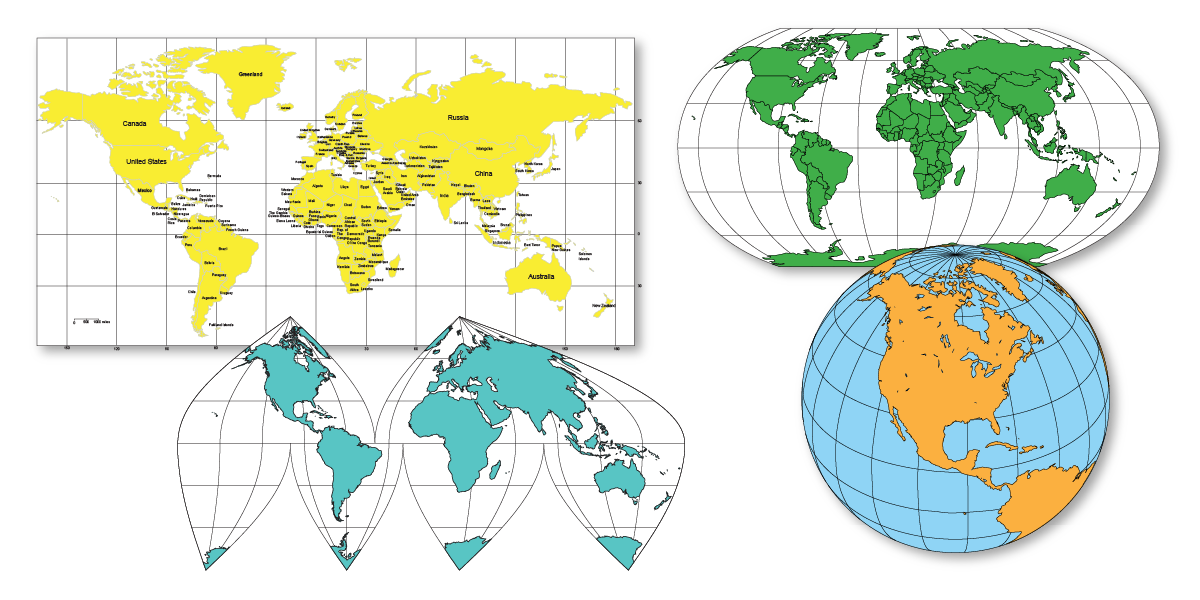
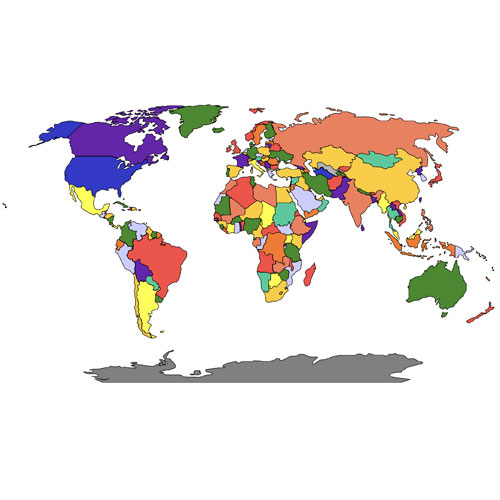
World Mercator Map Projection with Individual Countries and Names, Clip Art Map, jpg format. Right-click to download.
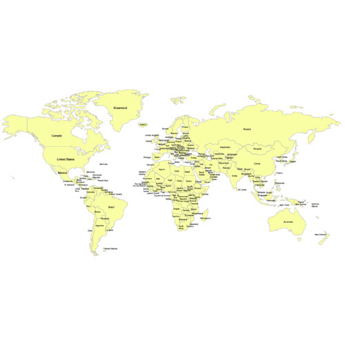
World Mercator Map Projection with Individual Countries and Names
Right click to Download.
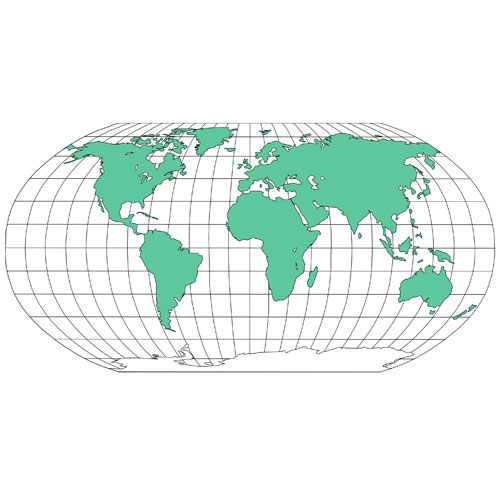
World Robinson Map Projection with Individual Countries
Right click to Download.
World Mercator Projection Map • Europe Centered
Right click to Download.
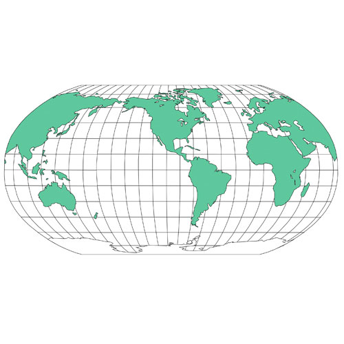
World Robinson Projection • North America Centered
Right click to Download.
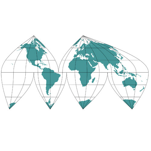
Sinusoidal 6pt Projection Map
Right click to Download.
World Mercator Projection Map • Australia Centered
Right click to Download.
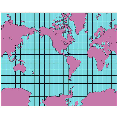
World Mercator Projection Map • Divided by Regions
Right click to Download.
World Robinson Projection • Europe Centered, Divided by Countries
Right click to Download.
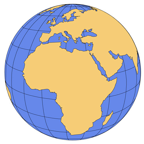
Global Map Projection • Africa
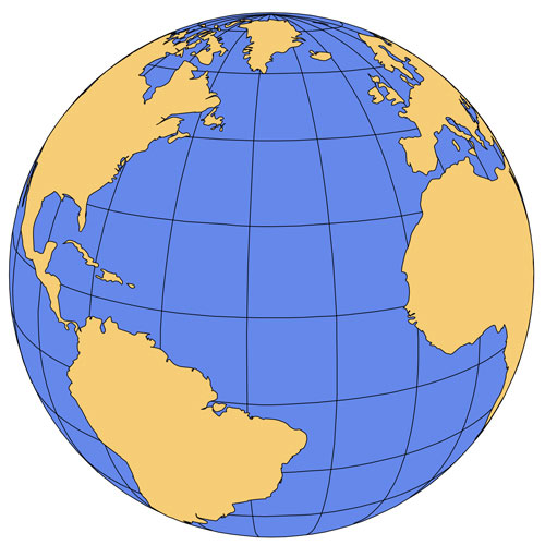
Global Map Projection • North Atlantic Ocean
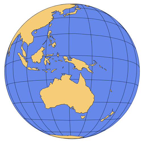
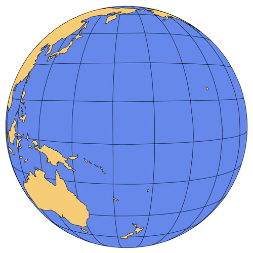
Global Map Projection • Australia
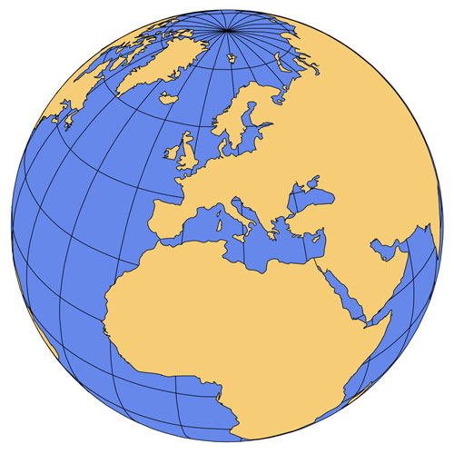
Global Map Projection • Europe
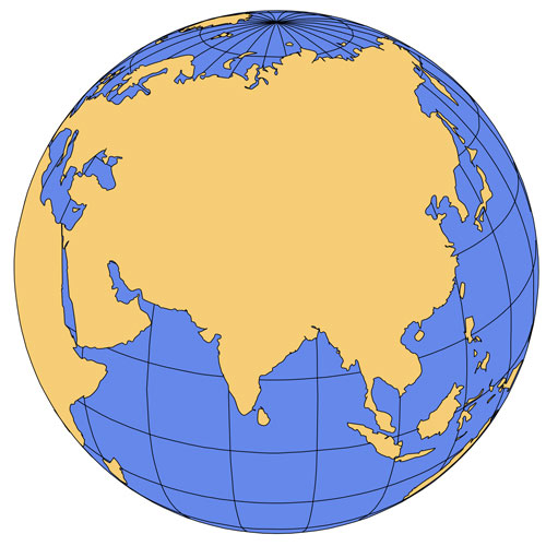
Global Map Projection • India and Asia
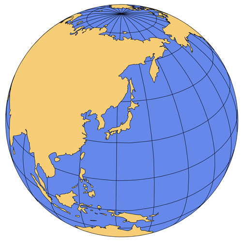
Global Map Projection • Japan and the
Pacific Ocean
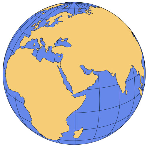
Global Map Projection • Middle East
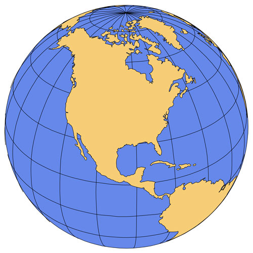
Global Map Projection • North America
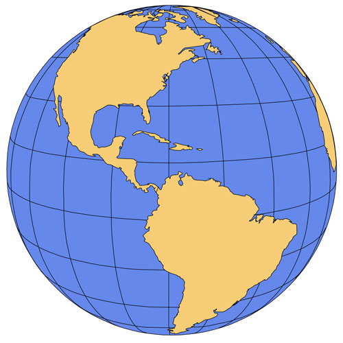
Global Map Projection • North and South America
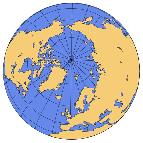
Global Map Projection • North Pole
Global Map Projection • Pacific Ocean
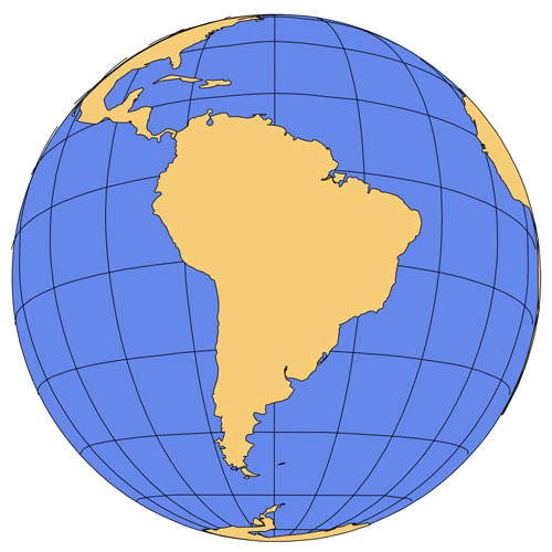
Global Map Projection • South America
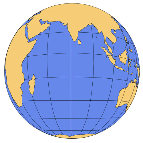
Global Map Projection • South India Ocean
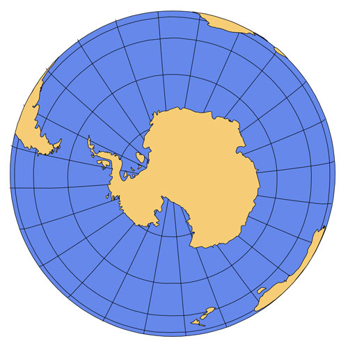
Global Map Projection • South Pole
Color Clip Art Maps
World Robinson 6 Map, includes country borders, Europe center, no text, editable countries, color
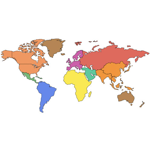
World Mercator 6 Map, Color, broken down by countries, Europe centered, text country names
World Mercator 1 Map, no country borders, Europe center, continents, our favorite for basic World
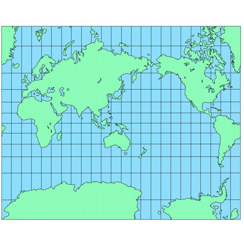
World Mercator 2 Map, no country borders, Europe centered, South Pole
World Mercator 3 Map, no country borders, N/S America centered, South Pole included
World Mercator 4 Map, no country borders, Australia and Japan centered, South Pole, grid lines
World Robinson 3 Map, no country borders, continents, N/S America center
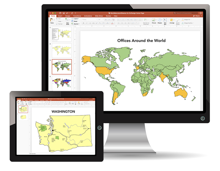
The PowerPoint and Adobe Illustrator/EPS Maps are fully editable. PowerPoint maps are compatible with PowerPoint, Google Slides, and Apple Keynote.
State maps are made up of 4 layers; State outline, major water ways, interstate highways and major cities. Each layer is grouped together. To change an element, select the layer and ungroup it. All maps are available in editable Powerpoint, editable Adobe Illustrator and JPEG formats. Each PowerPoint file contains a slide with land and text and a slide with just the land, the Illustrator maps are set up in layers.
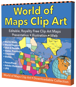
Free royalty-free, clip art maps for presentations, reports, education, websites, and more.
Our site includes affiliate links. If you click and purchase, we may receive a small commission at no extra cost to you. I only recommend tools I have personally vetted.
Bruce Jones Design
Mystic, CT
newtemplate.brucejonesdesign.com