Free Royalty-Free Maps You Can Download and Use for Your Personal, Commercial and Education Projects-
Free Royalty-Free Maps You Can Download and Use for Your Personal, Commercial and Education Projects-
Our PowerPoint maps are pre-formatted for MS PowerPoint. Maps are easy to edit. Select an object such as a state, country, or text and using the Ribbon at the top, change the color, delete, resize or edit.

How to Color Editable PowerPoint Maps for Sales, Marketing and Educational Presentations
How to Add Text and Titles to a PowerPoint Map
How to Split a PowerPoint Map in Half Using Edit Points, Video 1/2
How to Split a PowerPoint Map in Half Using the Tracing Technique, Video 2/2
How to Resize, Enlarge, and Reduce a Map in PowerPoint
How to Set Up a USA Sales Territory Map in PowerPoint
How to Build a Custom Sales Territory Map
How to Make Custom PDF Map Worksheets for Your Students
From Our PowerPoint Maps
How to Make a Blank or Outline PowerPoint Map
How to Group and Ungroup Your PowerPoint Map, Essential Skill for Customizing
How to Add a Star or Graphic to Your Map
How to Delete States or Elements on Your PowerPoint Map
How to Make a JPG Graphic and More From Your PowerPoint Map
How to Use the Shift Key and the Cursor to Select Multiple States or Elements in PowerPoint

How to Build a Sales Territory Map with Our Editable National County PowerPoint Map
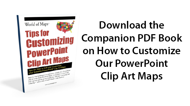
Click to Download the Free Companion PDF Book on How to Customize Your PowerPoint Clip Art Maps
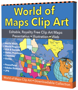
The PowerPoint and Adobe Illustrator/EPS Maps are fully editable. PowerPoint maps are compatible with PowerPoint, Google Slides, and Apple Keynote.
State maps are made up of 4 layers; State outline, major water ways, interstate highways and major cities. Each layer is grouped together. To change an element, select the layer and ungroup it. All maps are available in editable Powerpoint, editable Adobe Illustrator and JPEG formats. Each PowerPoint file contains a slide with land and text and a slide with just the land, the Illustrator maps are set up in layers.
Free royalty-free, clip art maps for presentations, reports, education, websites, and more.
Our site includes affiliate links. If you click and purchase, we may receive a small commission at no extra cost to you. I only recommend tools I have personally vetted.
Bruce Jones Design
Mystic, CT
newtemplate.brucejonesdesign.com