Free Royalty-Free Maps You Can Download and Use for Your Personal, Commercial and Education Projects-
Free Royalty-Free Maps You Can Download and Use for Your Personal, Commercial and Education Projects-
Editable sample maps from our World of Maps Clip Art Collection package. Samples include editable maps for PowerPoint, Google Slides, Apple Keynote, and Adobe Illustrator. Download and test them out.
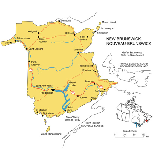
Canadian Provinces and PowerPoint, Adobe Illustrator, and JPG Sample Maps
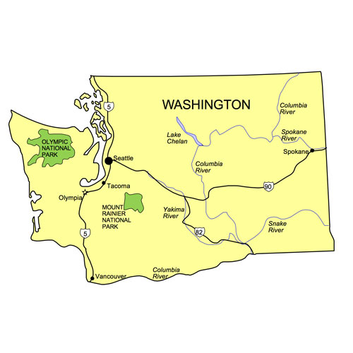
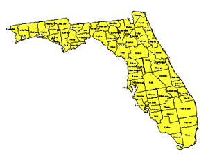
Detailed USA State County Maps with Highways and Waterways, PowerPoint Maps
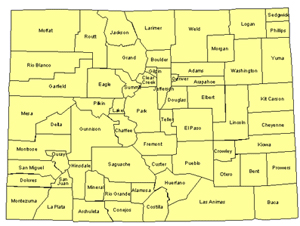
USA County Maps for Building Regions, PowerPoint, Adobe Illustrator, and JPG Sample Maps
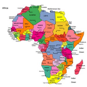
Africa World Regional Map, PowerPoint, Adobe Illustrator, and JPG Sample Maps
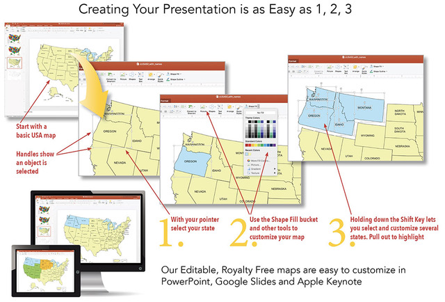
The PowerPoint and Adobe Illustrator/EPS Maps are fully editable. PowerPoint maps are compatible with PowerPoint, Google Slides, and Apple Keynote.
State maps are made up of 4 layers; State outline, major water ways, interstate highways and major cities. Each layer is grouped together. To change an element, select the layer and ungroup it. All maps are available in editable Powerpoint, editable Adobe Illustrator and JPEG formats. Each PowerPoint file contains a slide with land and text and a slide with just the land, the Illustrator maps are set up in layers.
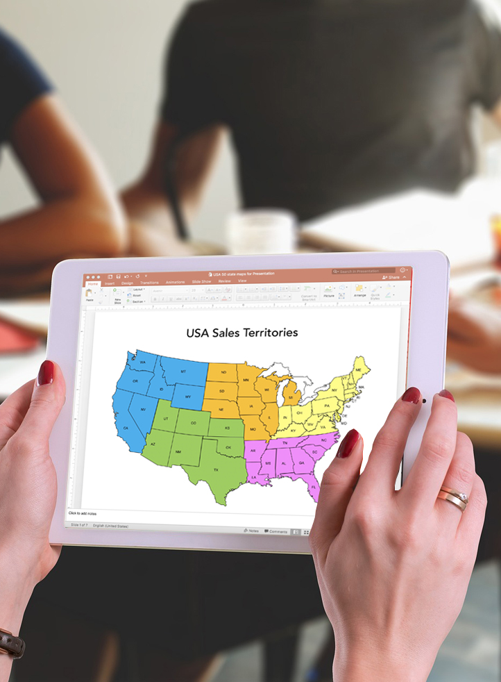
Free royalty-free, clip art maps for presentations, reports, education, websites, and more.
Our site includes affiliate links. If you click and purchase, we may receive a small commission at no extra cost to you. I only recommend tools I have personally vetted.
Bruce Jones Design
Mystic, CT
newtemplate.brucejonesdesign.com