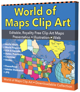
Free Royalty-Free Maps You Can Download and Use for Your Personal, Commercial and Education Projects-
Free Royalty-Free Maps You Can Download and Use for Your Personal, Commercial and Education Projects-
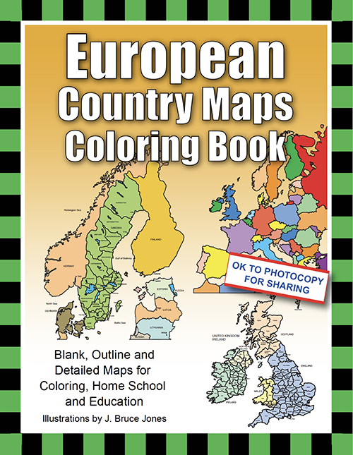
Blank, Outline and Detailed Maps for Coloring, Homeschool and Education
Buy a PDF Downloadable Book You Can Print Out
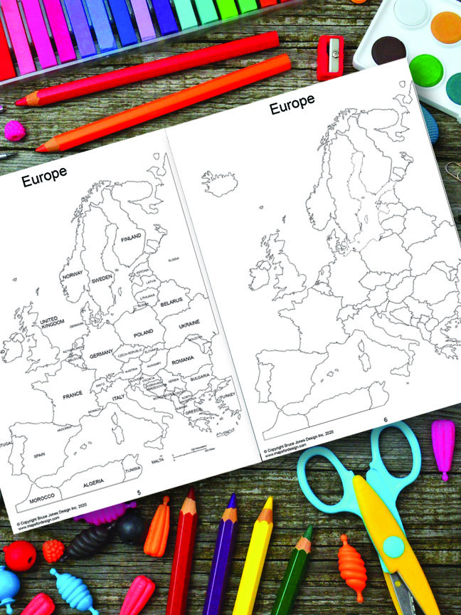
Color and learn about the countries of Europe in the European Country Maps Coloring Book. 46 Blank, Outline, and Detailed Country Maps for Coloring, Home, and Education. Each printable PDF country includes a detailed map with administrative districts with capitals and an outline overview map. Students can trace the outlines of the map, study, and highlight continents and features on the blank map. A great resource for students and kids.
Maps included:
General Europe Maps
Country Maps
• Albania
• Andorra
• Austria
• Belarus
• Belgium & Luxembourg
• Bosnia and Herzegovina
• Bulgaria
• Croatia
• Cyprus
• The Czech Republic
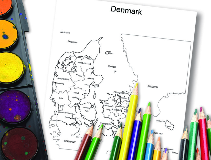
• Denmark
• Estonia
• Finland
• France
• France, Administrative Districts
• France, Provincial Boundary
• Germany
• Greece
• Hungary
• Iceland
• Ireland
• Italy
• Kosovo
• Latvia
• Liechtenstein
• Lithuania
• Luxembourg
• North Macedonia
• Malta
• Moldova
• Monaco
• Montenegro
• Netherlands
• Norway
• Poland
• Portugal
• Romania
• Russia
• Serbia and Kosovo
• Slovakia
• Slovenia
• Spain and Portugal
• Spain, Autonomous Communities
• Sweden
• Switzerland
• Ukraine
• The United Kingdom
• Vatican
• United States of America
• World Map–Mercator Projections
Book Specs: 8.5″ x 11″ inches. In paperback and PDF.
Free royalty-free, clip art maps for presentations, reports, education, websites, and more.
Our site includes affiliate links. If you click and purchase, we may receive a small commission at no extra cost to you. I only recommend tools I have personally vetted.
Bruce Jones Design
Mystic, CT
newtemplate.brucejonesdesign.com